
VR in designing future Cities: Traditional urban planning relied upon two-dimensional maps, blueprints, and complicated models for designing future cities and urban planning, but Virtual Reality (VR) technology is revolutionizing this practice allowing architects, urban planners, and city officials to design urban spaces more intuitively in ways unthinkable before. VR provides dynamic 3D simulation environments that offer dynamic urban design approaches promising smarter cities that are sustainable yet liveable environments for residents and city officials.
In this article, we’ll examine how Virtual Reality (VR) is revolutionizing urban planning – from its potential to streamline collaboration to its effect on sustainable development, empowering communities to actively take part in planning city environments.
Use Of Virtual Reality(VR) in Urban Planning?
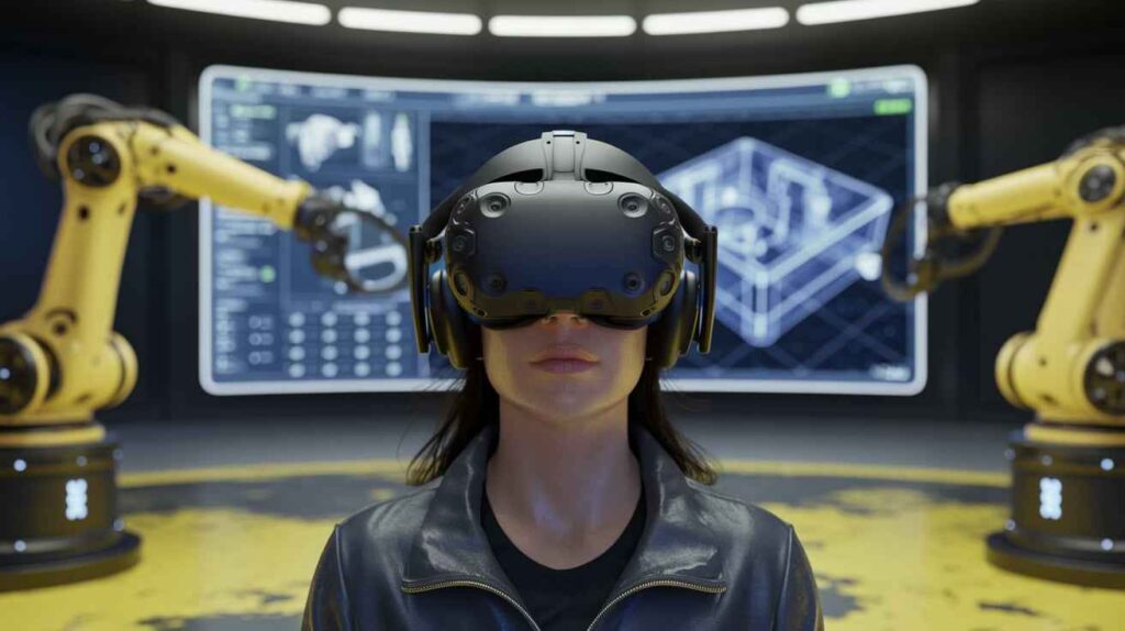
Virtual Reality, also known as VR, creates immersive simulations similar to or different from our real world environments. For urban planners specifically, VR technology enables professionals to craft immersive simulations of entire cities, districts or single buildings using this immersive technology – which enables walk-through fully rendered versions of city plans as well as explore various architectural designs, assess traffic flow patterns and assess impact assessments of proposed projects for an engaging, fully interactive and immersive experience.
Advantages of VR for Urban Planning
There are various key advantages associated with using virtual reality technology for urban planning:
Enhance Visualization: Traditional 2D designs such as blueprints and floor plans can often require expert interpretation in order to be understood correctly, while VR transforms these static images into dynamic, 3D environments which can be explored from various viewpoints – making it simpler for both professionals and non-specialists alike to comprehend proposed designs.
Real-Time Adjustments: Modifying urban plans previously could take days or weeks; with VR technology however, urban planners can make instantaneous adjustments to city’s layout, design, infrastructure and more, quickly visualizing how their changes impact broader environment.
Collaborate Across Borders: VR has enabled global collaboration across borders by breaking down geographical barriers between architects and planners working on shared virtual spaces, such as VR. This can facilitate more creative solutions as well as speed up decision making processes.
VR facilitates citizen participation: it gives residents an immersive way to experience proposed changes to their city through virtual parks, streets and buildings; offering feedback based on what they actually experienced – helping democratize urban planning by including community voices in its final designs.
How VR Can Aid in Designing Future Cities
Virtual reality technology plays a pivotal role in urban planning beyond simply visual simulations – its use encompasses numerous applications that enhance every step of city building from early design and public consultation through sustainable urban growth and sustainable city building.
1. Generating Virtual Models of Cities
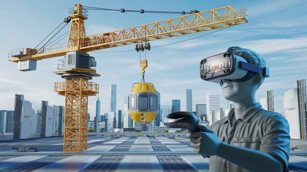
VR can play an invaluable role in urban planning by helping planners visualize large-scale projects before any brick is laid – showing relationships among buildings, transportation network impacts and how public spaces fit within urban fabric.
Planners can use such levels of detail to better anticipate potential problems with city designs, including traffic congestion, insufficient green spaces and inadequate infrastructure to support future expansion. Through simulating such scenarios cities can avoid costly errors while creating environments which are both functional and efficient.
2. Simulating Traffic and Pedestrian Flows
Urban congestion remains one of the greatest challenges, so virtual reality allows urban planners to simulate traffic flow and pedestrian movement within proposed developments using VR simulation software. They can study how various road layouts, intersections, transit options affect mobility while anticipating bottlenecks before they happen.
VR simulations provide city planners with a tool for envisioning how adding bus lanes or metro stations might influence traffic flows and whether their presence will reduce congestion or cause additional difficulties. By understanding these dynamics early, cities can design smarter transportation networks which improve mobility for all.
3. Designing Sustainable Cities
Designing eco-friendly cities is at the center of modern urban planning, and VR provides a valuable tool for designing them with eco-impact simulation capabilities. Planners can use VR to visualize energy consumption, carbon emissions and green space distribution; ultimately enabling more informed decisions regarding sustainable infrastructure design.
VR can assist city planners in simulating how building materials, solar energy systems and natural ventilation will perform in real-world conditions – enabling cities to implement energy-saving designs while decreasing carbon footprint – aligning themselves with global sustainability objectives such as United Nation’s Sustainable Development Goals (SDGs).
4. Interactive Public Participation
One of the greatest obstacles in urban planning is encouraging public involvement, as citizens often feel disconnected from its technical aspects, making it hard for them to fully grasp how proposed changes will impact them daily lives. VR can offer a solution by providing virtual experiences of proposed changes for public consumption.
Public VR exhibitions or city tours allow residents to explore parks, buildings and transportation systems before providing feedback about any aspects they like or don’t like – helping planners make more community-centric decisions while making sure urban development aligns with residents’ desires for where they will reside.
5. Improved Disaster Preparedness
Virtual Reality can also be used to simulate natural disasters like earthquakes, floods and fires for disaster preparedness purposes, providing city planners with valuable data regarding how urban designs might hold up against such events. By highlighting weaknesses in infrastructure or building designs that contribute to these calamities – as well as evacuation routes and emergency response plans – virtual reality allows cities become more resilient as evacuation routes and response plans improve accordingly.
Preparedness can save lives and lessen economic damages caused by natural disasters – an ever more critical consideration with climate change amplifying these events.
VR in Urban Planning
VR holds great promise as an urban planning tool. As VR technology becomes more affordable and sophisticated, we expect it to play an even larger part in designing smart cities – urban areas which utilize data and technology for efficient operations, reduced resource consumption and an enhanced quality of life for residents.
1. Smart City Integration
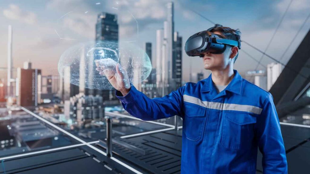
In the future, virtual reality could be used to simulate smart city technologies like autonomous vehicles, smart grids and IoT (Internet of Things) devices in cities. By visualizing how these technologies integrate into urban infrastructure planning can develop cities which not only are environmentally-friendly but are highly efficient as well.
2. Augmented and Mixed Reality Integration
As AR and MR technologies advance, they may soon be combined with VR to offer users hybrid experiences where both worlds interact simultaneously – for instance urban planners could use AR overlay digital models onto real spaces for comparison of proposed designs with existing structures.
3. AI-Driven Urban Design
Artificial Intelligence (AI) combined with VR could revolutionize urban planning processes. AI could analyze vast amounts of data such as demographic trends, environmental conditions and traffic flows to generate optimized urban layouts which planners could then explore virtually before making necessary modifications as required. Also read: Technological Innovation in Weight Loss: Empowering Healthier Living.
Conclusion
Virtual reality (VR) has revolutionized urban planning by offering powerful visualization, collaboration, and public engagement capabilities. Through its immersive, interactive models of cities, this technology empowers city planners to anticipate challenges, optimize designs and craft environments that are more sustainable, resilient and liveable. As cities face increasing population pressures, climate change impacts, and resource scarcity issues, virtual reality will play an increasingly vital role in shaping their cities of tomorrow. Through innovative tech we are moving toward creating spaces which not only are more efficient but more inclusive – giving residents voice in shaping the environments that become their homes.